


by Philip Fry
When colonial settlement was initiated in our region in the late eighteenth century, the forest inhabited by indigenous peoples was seen as “a howling wilderness,” and treated as res nullius, a no-man’s land up for grabs. Beginning in 1783, surveys were made using the British measuring system to set up townships, each of about 10 miles square. A baseline was established along the Saint Lawrence River; then successive lines were drawn about one and a quarter miles apart, to divide the land into “concessions;” each of these were in turn divided every third of a mile into narrow lots of about 200 acres.
Little of the landscape could be seen on the surveyor’s plan, which imposed a geometrically regular grid on the forest, dividing and equating parcels of land, with little or no attention being paid to the intrinsic characteristics of the terrain. It was a matter of inscribing an abstract, economic, and social regulatory pattern onto the landscape. Colonial inhabitation began at the Saint Lawrence, where river frontage made the land more valuable, and settlers subsequently moved inland. There, the Rideau River established a new “front.” According to Eileen Whitehead, a local historian, the trees on each the site soon revealed its value: walnut, chestnut, hickory, and basswood indicated the best soils; maple, beech, and cherry signalled second-rate land; and pine, hemlock, and cedar were symptoms of soil so poor that it was “hardly worth accepting as a present.”
Over the next century, as Dr. Pieter Trip has so carefully demonstrated, the already poor land was “mined” of its nutrient minerals by clearing, logging, and the sale of potash. Because the survey grid did not respect the underlying pattern of different quality soils, farmers often found that some portions of their property were not worth the effort of cultivation. Then they abandoned the poorer parts of their land to natural succession. Most would have reserved part of their land as woodlots. In many places, when the soil was laid bare and exposed to wind and desiccation, desertification set in: fine “blow sand” began to drift across the land, accumulating in drifts, sometimes as high as a one-storey building.
Some farmers gave up and went west; others held on, working on the best soils. In the 1930’s, the Provincial government responded to the situation with reforestation projects to stabilize the sand; this was, for example, the origin of Limerick Forest. It remains a matter of serious debate whether spontaneous second and third growth – and our managed tree plantations – can thrive, as did the old forests, without fertilization to replace the soil nutrients “mined” by deforestation practices.
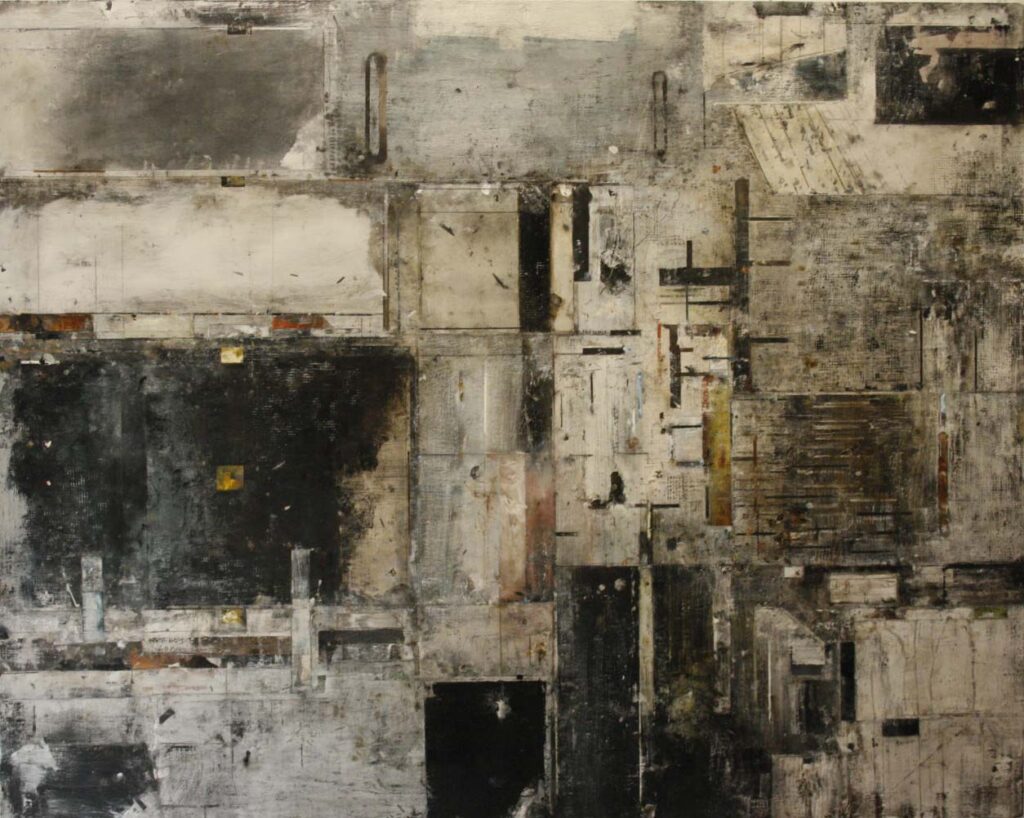
This history leaves us in a patchwork, fragmented landscape, where the colonial grid, although etched into the underlying geophysical landforms by clearing, plowing, and construction, has been partially obliterated over the passage of time. As in a painting by local artist Catherine Everett, the geometric grid remains present and active in the parcelling out of spaces, creating divisions and establishing connections: here and there, the grid lines still create abrupt shifts of habitat, elsewhere they have been obliterated by the shifting sands, overrun by “forced” roads and highways, or left to natural succession. Subdivision of the grid’s rectangles has created clusters and rows of residential lots, often isolating the “back” areas of concessions. The whole landscape remains united, however, by its geophysical base, the flow of ground and surface water, and changing climatic conditions.
How are we to improve this diversified landscape’s participation in the carbon and nutrient cycles, and enhance its biodiversity? We cannot count on the current Provincial government, which has been systematically destroying established environmental protection and enhancement programs. We therefore need a locally-focused, differentiated approach, one which recognizes the triple scale of our local landscape – its overall composition, which is the responsibility of the region and township; its agricultural, industrial, and business holdings, which are a matter for farmers and corporations to address; and residential plots, for which individual families are the custodians and caretakers. As we prepare to discuss the strengths and weaknesses of these levels, please send your comments to wildflowerguy@gmail.com.


